About
LET's
BUILD
SOMETHING
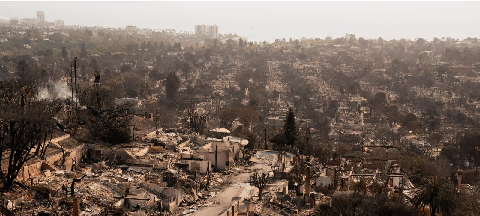
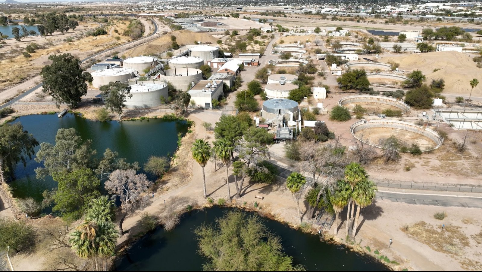
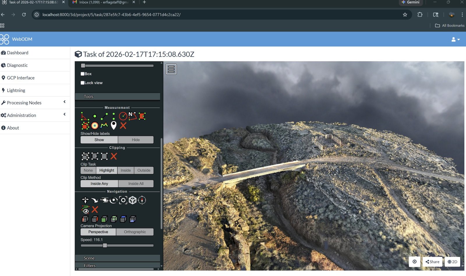
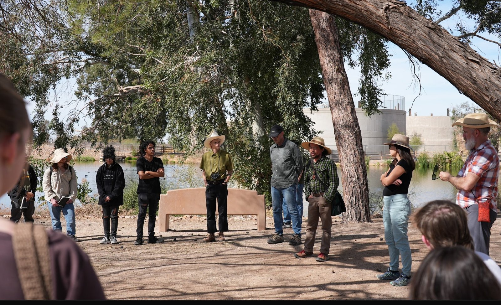
I'm Elizabeth Richardson, an environmental consultant specializing in land use and development. When decisions are critical and accuracy can't be compromised, — I turn drone-collected data into clear, actionable insight at every stage of a project
Working with developers, insurers, planners, and communities across the country, I never forget that this work is always about building relationships with people.
Based In
Arizona
Coverage
National
Specialty
Land Use & Dev.
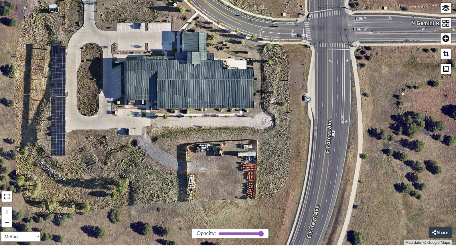
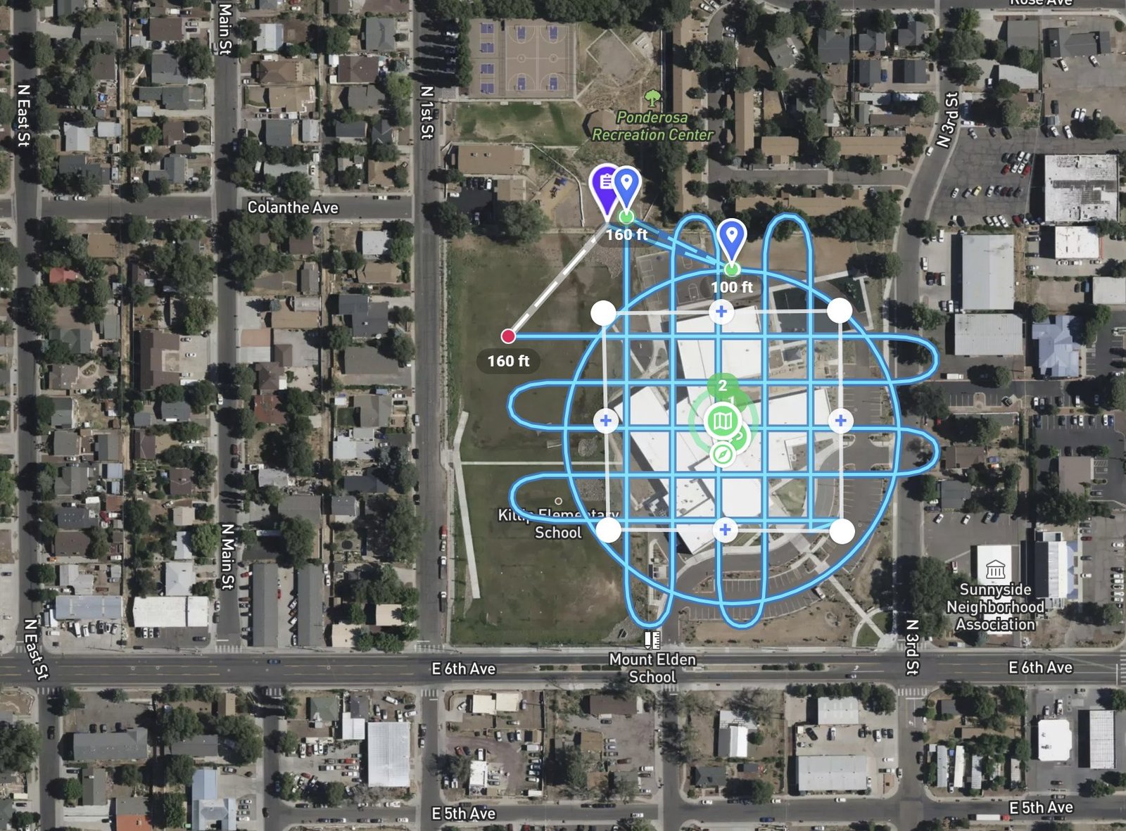
Job Site Monitoring
Flagstaff